Two Holes in the Karst
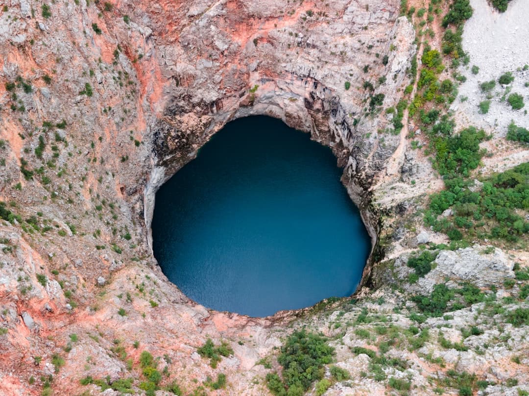
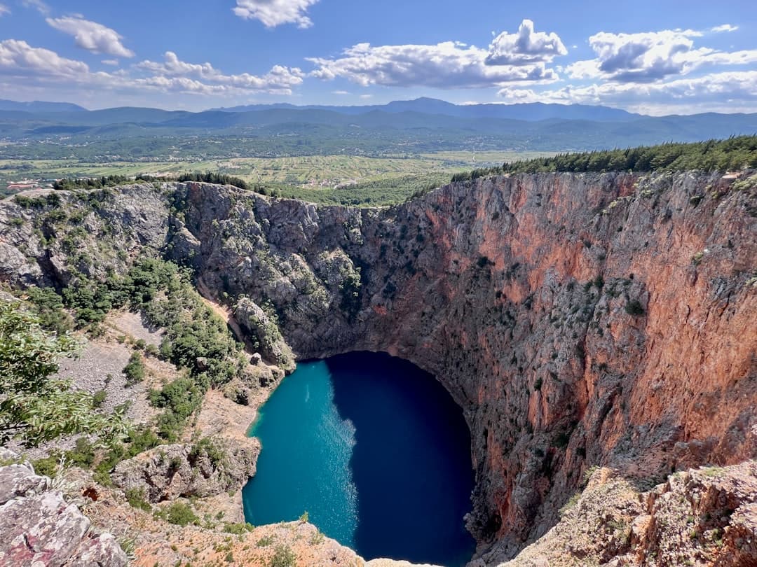
The Imotski lakes are not lakes in any normal sense. They are collapsed cave systems — Dinaric karst at its most theatrical — formed when the roofs of enormous underground halls gave way several million years ago. What is left at the surface is a pair of near-vertical sinkholes punched into the limestone plateau, with water that rises and falls on the schedule of the rock rather than the sky.
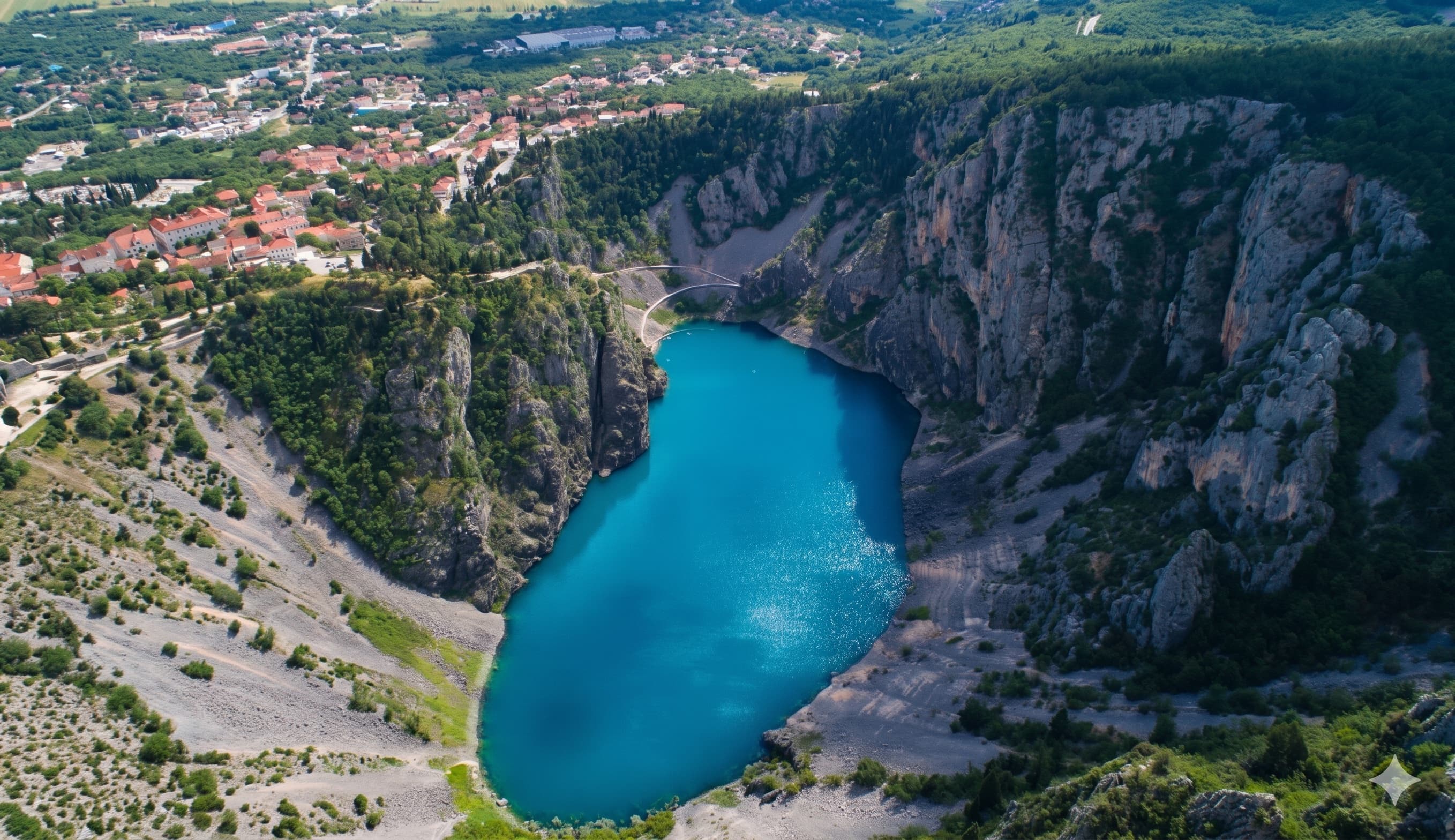
The two sit only about a kilometre apart on the western edge of Imotski town and now anchor the Biokovo-Imotski Lakes UNESCO Global Geopark, established to protect the wider plateau between the Adriatic coast and the Herzegovinian border. You can see both in a single morning.
Whether that morning is worth driving inland for depends entirely on what you came to Croatia to look at. The geology rewards a detour; it does not reward crossing the country.
Quick Facts
Where
Imotski, on the eastern edge of Split-Dalmatia County, roughly 100 km from Split and 15 km from the Bosnia-Herzegovina border.
Getting there
About 1 hour 10 minutes by car from Split via the A1; FlixBus and Globtour run several daily services from Split bus station (around 1 hour 45 minutes, roughly €10–15).
Red Lake (Crveno jezero)
Cliffs of 241 m above water and a total explored depth of around 530 m — the deepest collapse doline with a lake on the planet.
Blue Lake (Modro jezero)
A 220 m drop from rim to floor, with a walking path down to the water when conditions allow.
Best time
Late April to early June, when Blue Lake is full and walkable on the rim trail without summer heat.
Cost
Both lakes are free to visit; parking near the Blue Lake viewpoint is informal and unmetered.